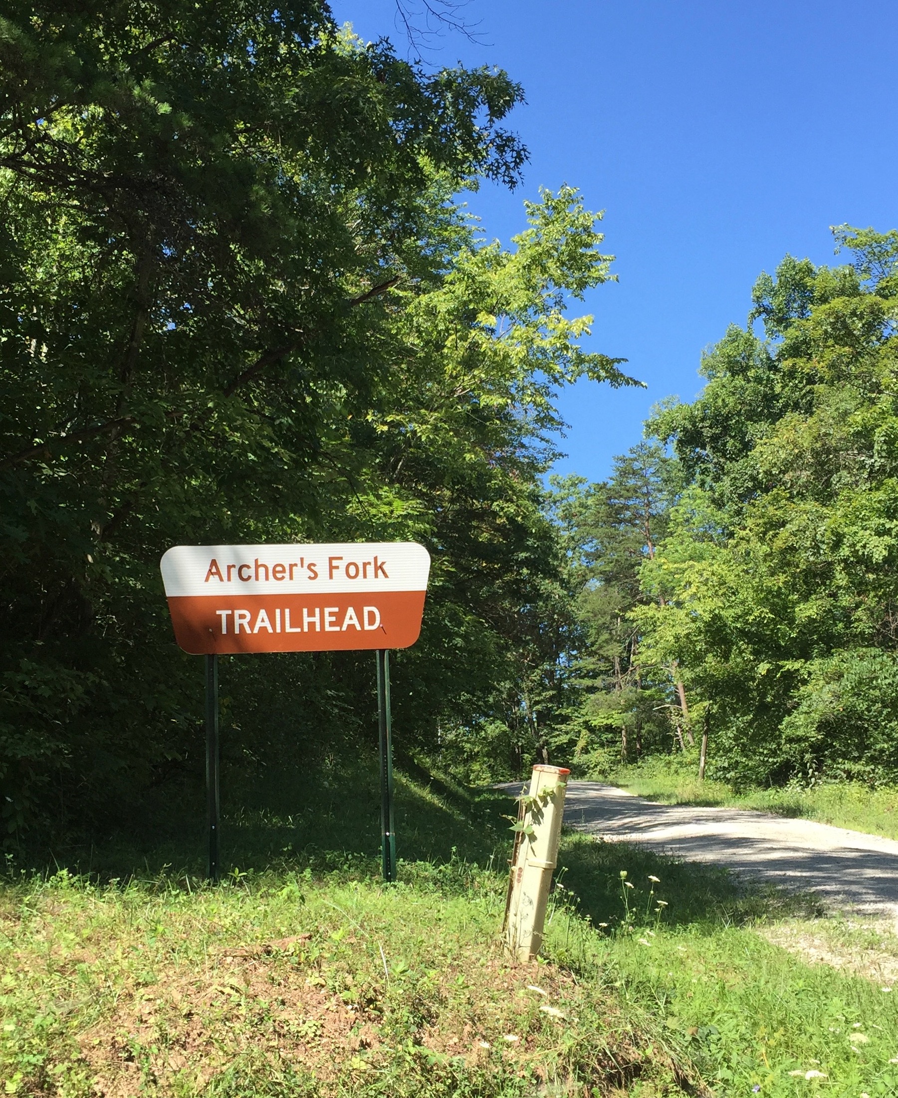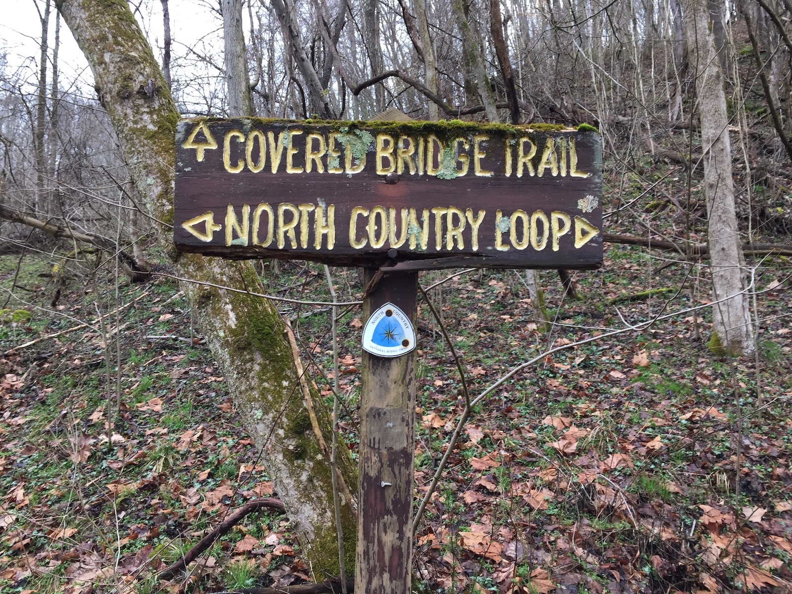
If you are an Ohioan who is into backpacking and haven’t been to Archer’s Fork yet, you should plan a trip. It is one of the most remote backpacking sites in the state. To illustrate how far out this trail is: we normally grab a meal at a restaurant near the trailhead before heading into the backcountry; the Archer’s Fork trailhead is about an hour drive from the nearest restaurant (possibly longer if you don’t download directions before leaving an area with cell service). For someone from northeastern Ohio, that’s a crazy long way from food. While on the trail you are unlikely to run into other people, which further enhances the feeling of remoteness. The best part may be that it’s only two and a half hours away from the Akron area, so most people in eastern Ohio should be able to get there in under four hours.
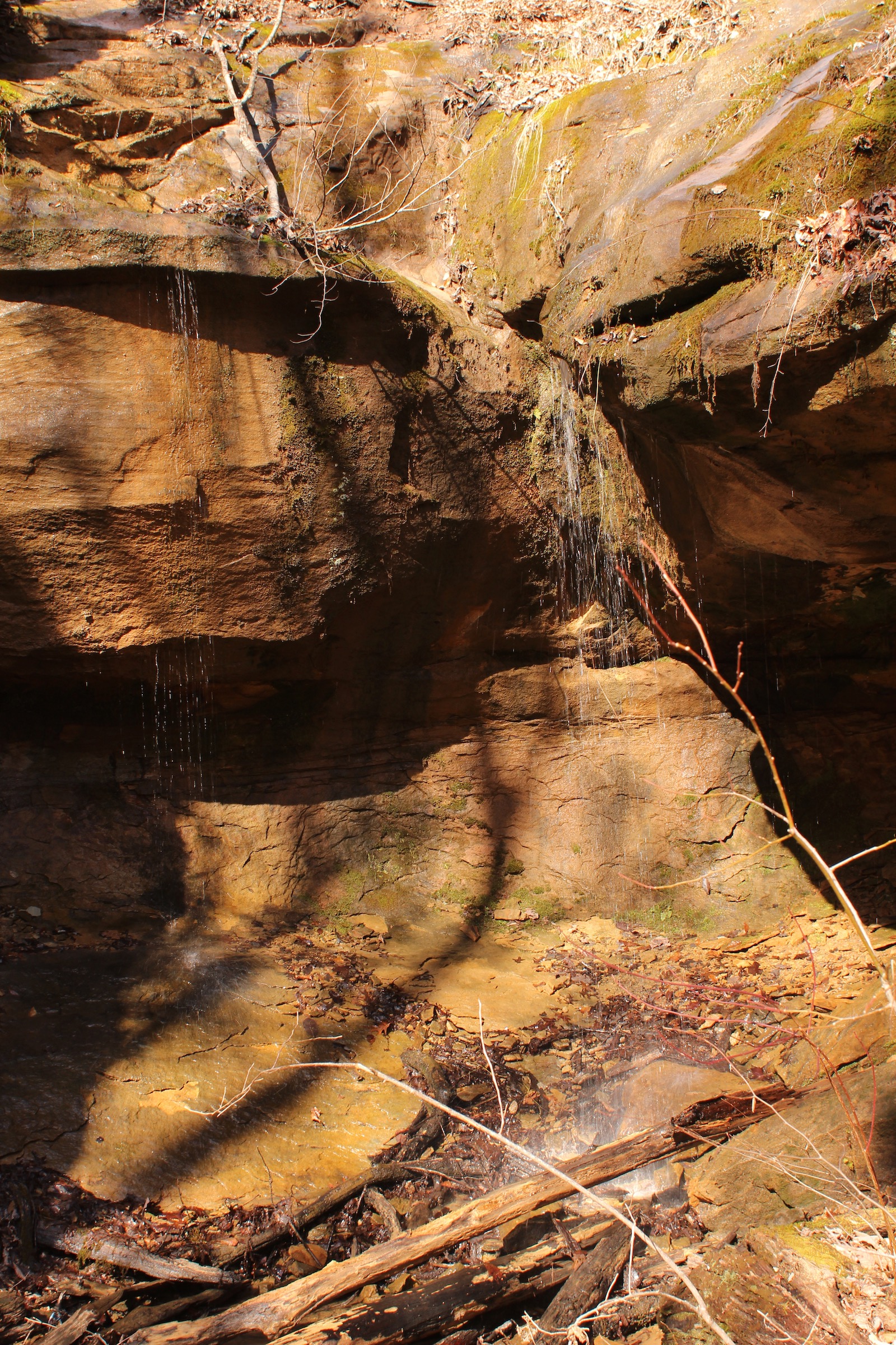
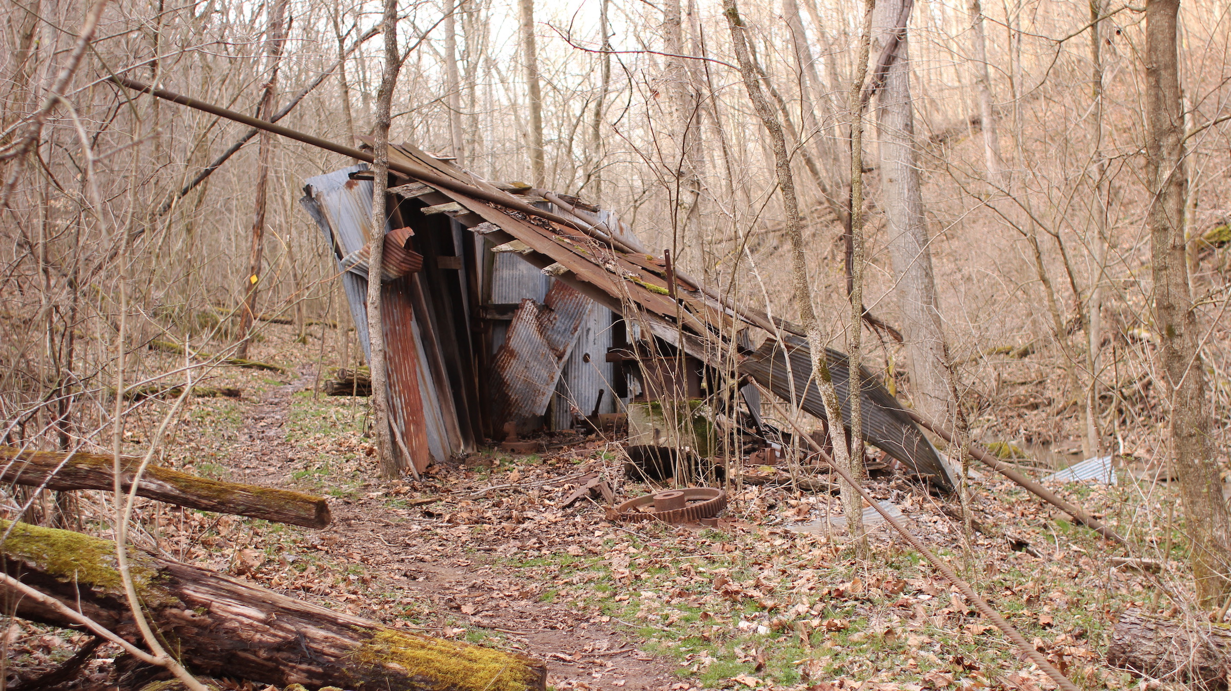
At just under 13 miles, the trail is not very long. We stretch it into a three day, two night trip by arriving late and leaving early. Starting from St. Patrick Cemetery (39.523700, -81.180963) we head head counter-clockwise. The great cave and the natural bridge are on our way to the first camp site. That campsite is under some evergreens near Archer’s Fork, the stream from which the trail gets its name. After crossing a stream that feeds into Archer’s Fork there is collapsing shed covering a rusty old oil pump. The camp site is not far past here; if you get to the white building, then you have gone too far.
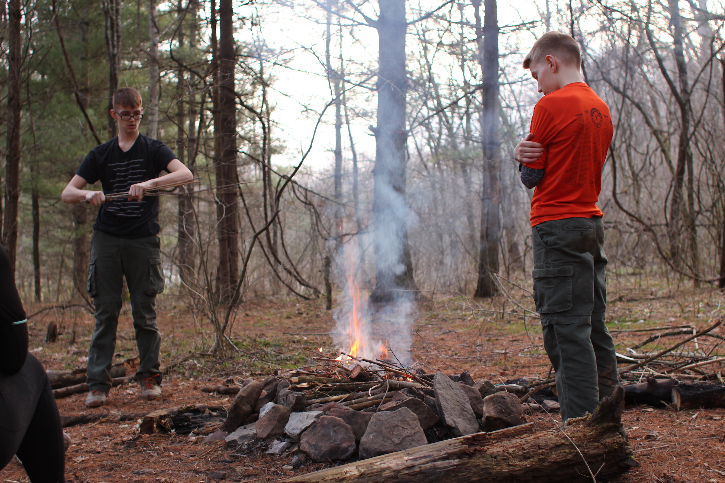
Based upon the garbage which seems to always be left at this campsite, it appears to be heavily used, though we have never seen anyone camping here. The campsite has a fire ring with a couple large logs that make great seats. On this trip the temperature was set to drop after sunset, so after collecting the garbage others had left and cleaning up the fire ring, we got a small fire going. There was plenty of kindling around, but not much tinder. I forgot to bring fire starting material, so we used a small bit of coconut oil to get it started.
With the fire going, we made dinner. The meal was small – couscous with spices and nuts – since we had a late lunch before arriving. Then, it started raining. We expected rain, but it was forecasted for late night/early morning. By 9 o’clock it was raining enough to start putting out the fire. Being our first outing of the season, everyone was tired enough go to sleep a little early.
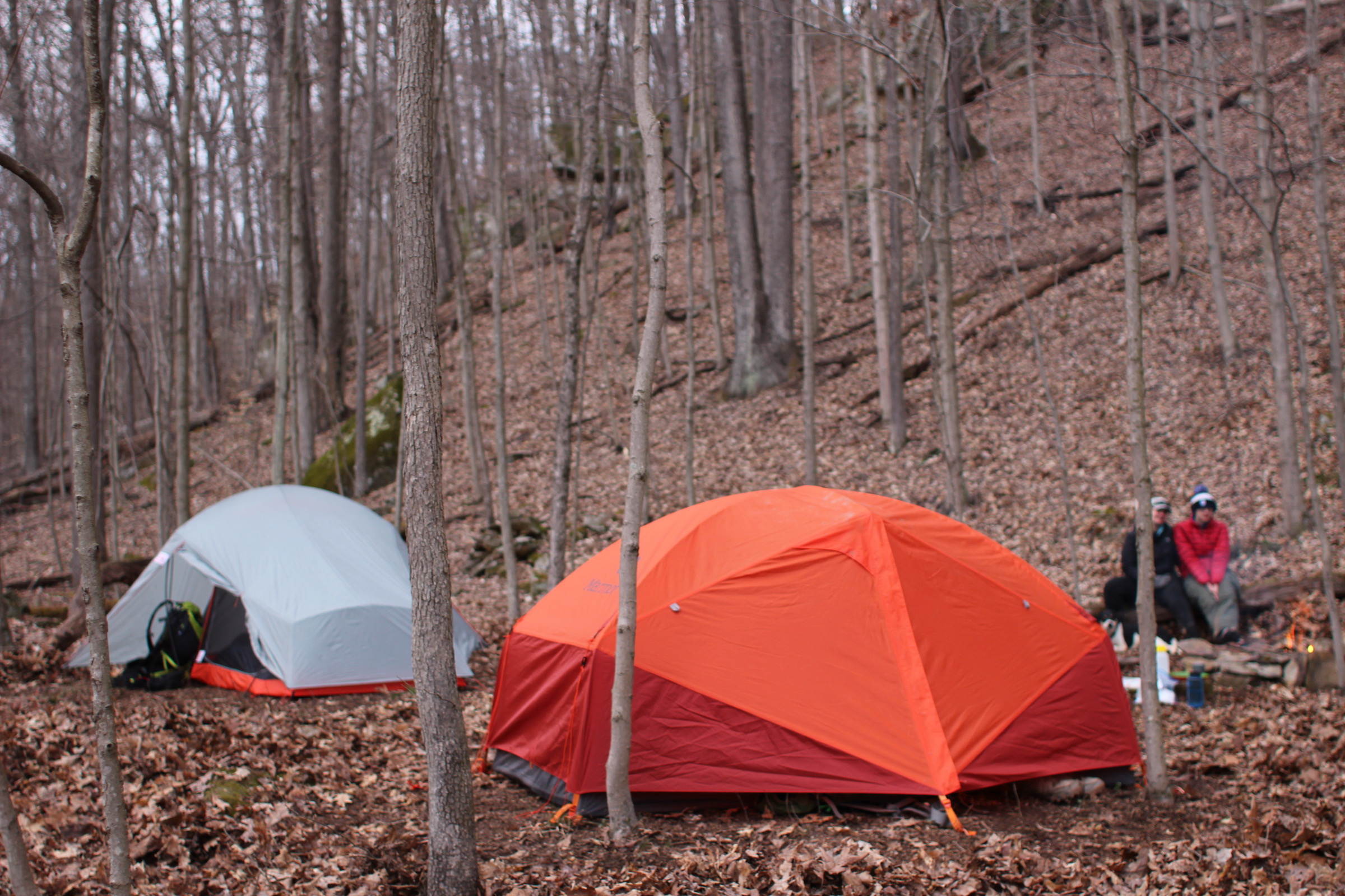
This was the first trip for our new SlingFin 2Lite tent, and it kept us nice and dry through the night. Our trusty old Marmot tent stayed dry inside as well. It was still sprinkling in the morning, so we set up a tarp to cook breakfast under. We fried up some eggs and bacon, which helped everyone get motivated to head out onto the damp trail.
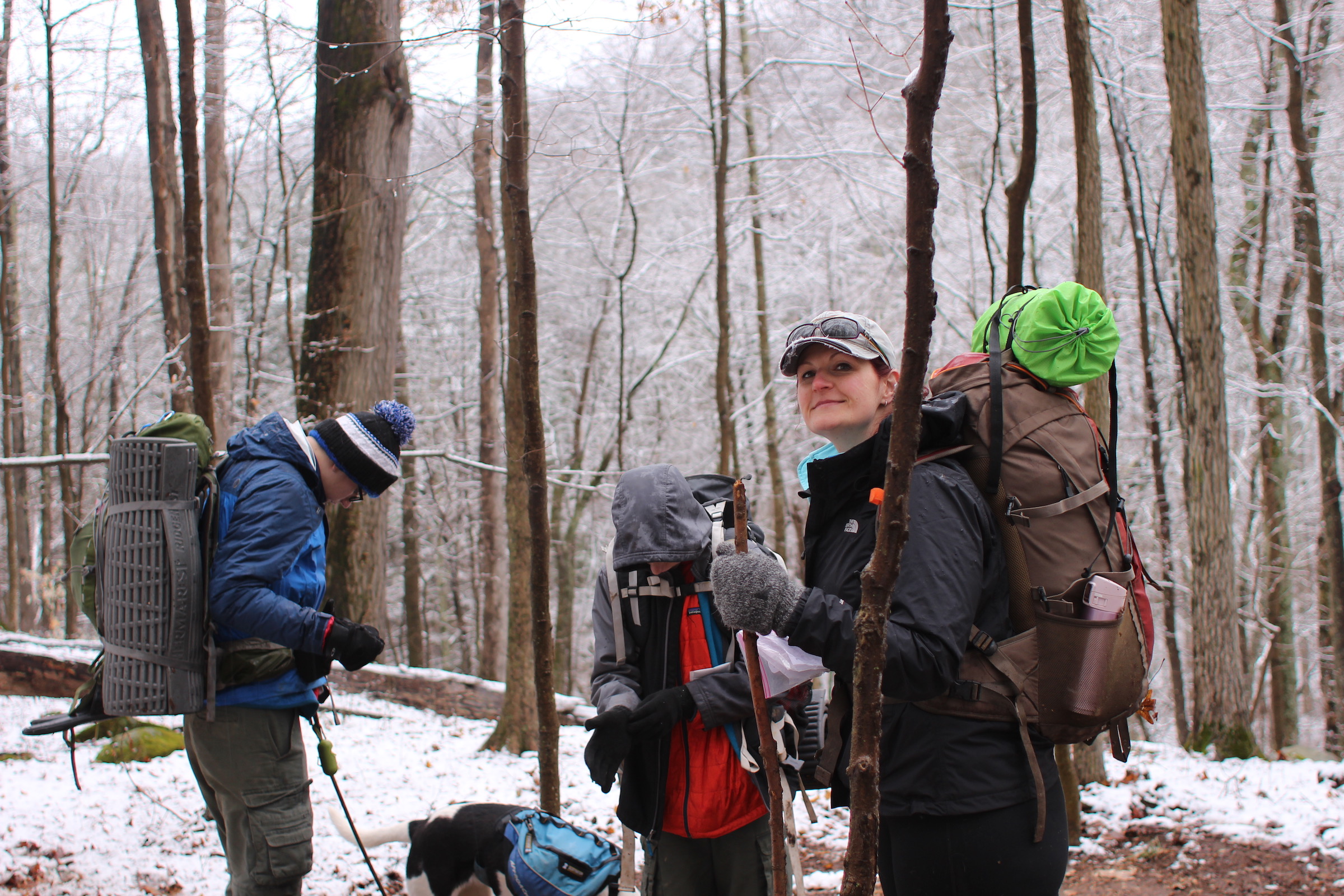
Archer’s Fork was deep enough that we explored alternate crossing options. To the east there was a large tree down which crossed the stream; it made a great place for people to cross without getting wet. However, we needed to find a spot for our puppy to cross. The river seemed to wide and deep near the downed tree, so I took Raya back to the west to find a place to cross. We found a spot not far from the normal trail crossing that was narrow and not too deep. I tied a static line to her leash and threw the other end to the boys on the other bank. Nate tied the safety rope to a tree, and I let go of the leash. Raya took off across the stream, momentarily hesitating in the middle when she realized that the water was moving faster than she was used to. She made it across and I went back to cross on the log.
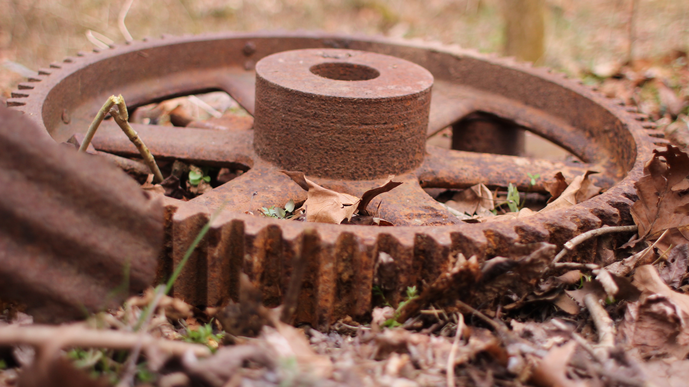
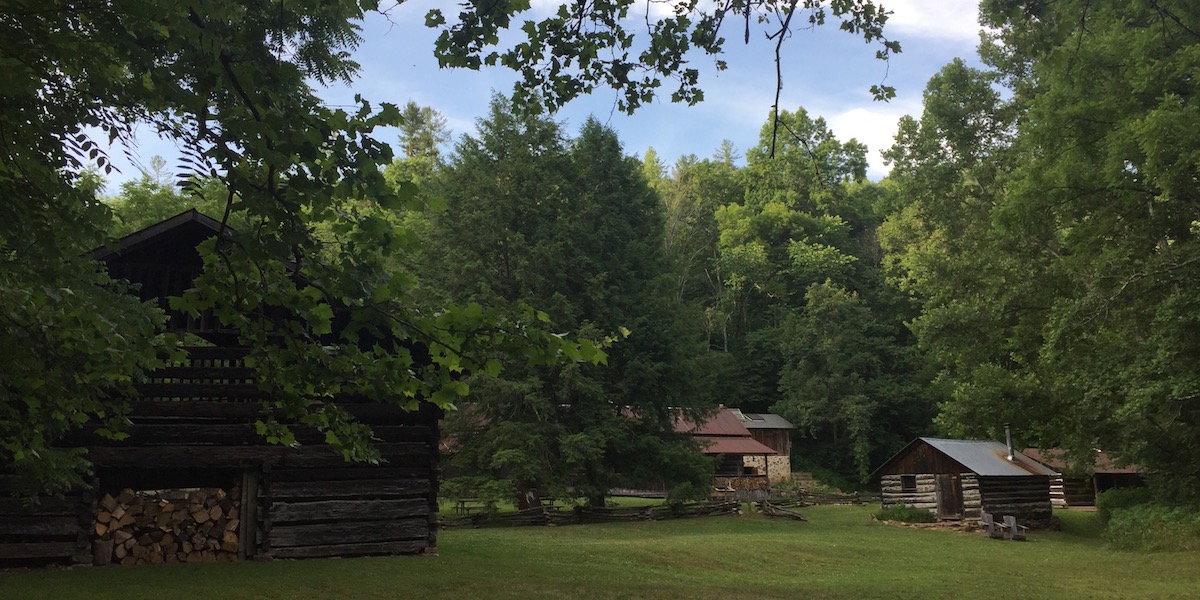
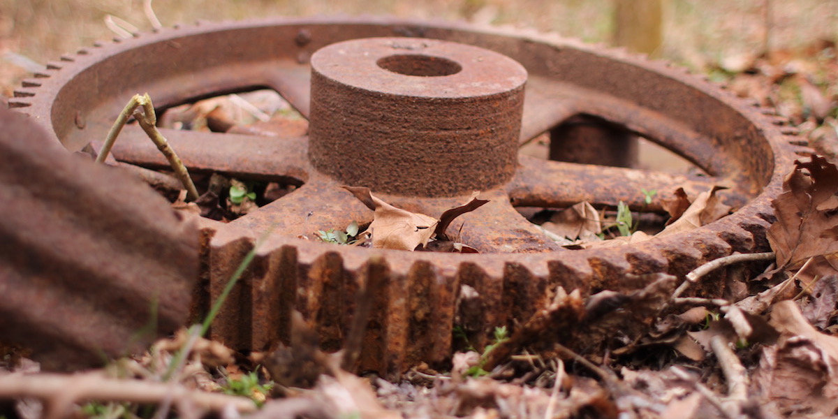
The land which is now Wayne National Forest has not always been wilderness, it has a long history of private use. The old and new oil equipment seen all along the trail is a testament to this. The area was logged before being exploited for coal and then oil and gas. Along the trail there are remnants of what appear to be homesteads.
In one area there are no structures, but near the trail is what appears to be the rusting contents of a home poking out from duff of the forest floor. If this place were closer to civilization it might be confused with an illegal dumpsite. When passing the site I cannot help but wonder how these things came to rest in this remote location. The most interesting bit of garbage is an child’s pedal car. It seems like something that would not be dumped in the garbage, and doesn’t seem to fit my preconceived notion of who may have lived here in the past.

You may be tempted to take this amazing little car as a souvenir, or you may want to clean up some of the other rubbish to help return the land to nature. But, it might not be a good idea. This stuff, even though it appears to be garbage, is part of the cultural history of the area and is actually protected by federal antiquities acts. While at Wayne National Forest you really should take nothing but pictures. Permits may even be required to collect plant samples. When we visit, we are careful to only remove garbage which has clearly been left by visitors to the trail, not left by the people who called the area home before it was a national forest.
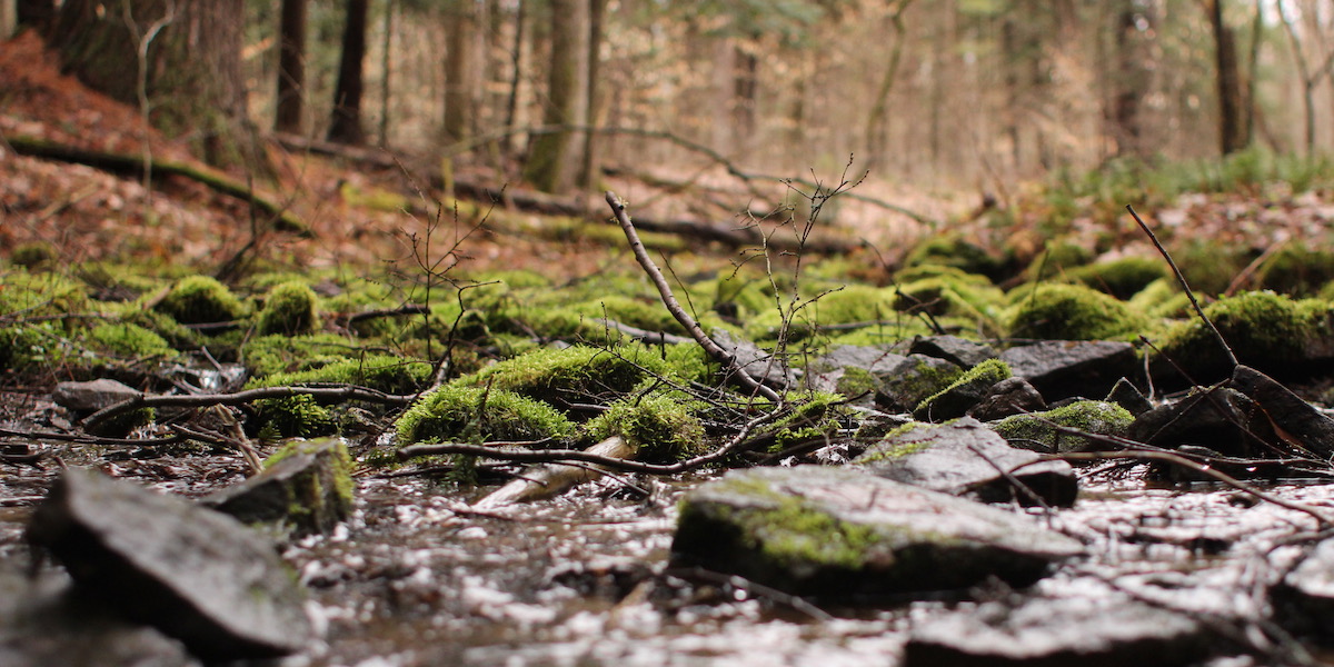
After another day of hiking we were looking for a place to camp near the Irish Run stream crossing. Because more rain was in the forecast we decided to head to a slightly higher elevation. We found a flat area with a fire ring below some rock cliffs. We knew it would be chilly again, so we wanted to get another small fire started. The coconut oil wasn’t working to get the fire started this day, so we used a little hand sanitizer to get our kindling ignited.
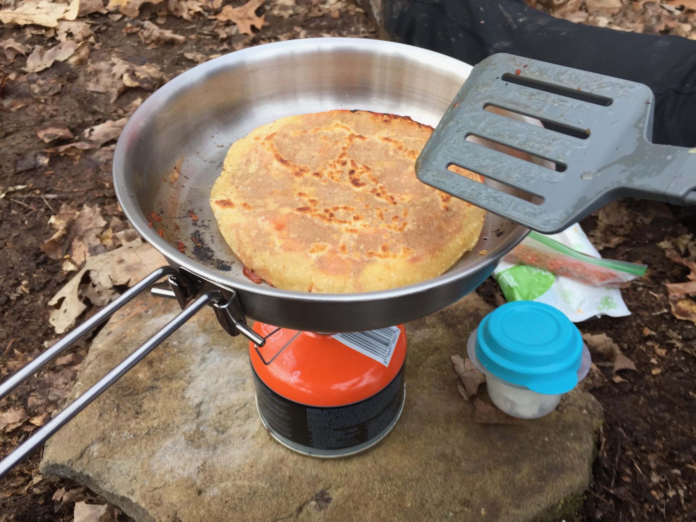
With our fire started we set to making dinner. This day we were hungrier than we were the previous day. Fortunately we had planned to make one of our family’s favorite backpacking meals — pizza. We had a new recipe this time, but we would be using our tried and tested pizza sauce. For the sauce we use tomato powder with a custom blend of herbs and spices; we just rehydrate it when we are ready to use it. Rather than dough we used corn tortillas this time. It was more like a quesadilla than a pizza. We add a small amount of coconut oil to our pan and then toss in a tortilla. We put some cheese and sauce on and then top with another tortilla. After the cheese melts a little we flip it to warm up the other side.
On our second night we got rain. And then we got snow – heavy, wet snow. The Marmot held up well, but the SlingFin did not. The heavy snow rolled off of the head of the tent, but it accumulated near the foot of the tent causing the fly to sag. The sagging fly rested on the inner tent and allowed moisture to get inside. I expect a three season tent to be able to handle a little bit of snow, so I’m slightly disappointed. I need to review the tent’s setup instructions to see if I missed something, so I am reserving judgment on the tent for now.
It was cold and wet, and we knew we were leaving that morning, so we hustled to pack up our gear and head out. In the rush I forgot to take a picture of the snow sagging tent. We didn’t even cook the breakfast that we planned.
Besides for getting some moisture in one of the tents on the second night, the trip went well. We had near complete solitude. We saw one couple leaving when we arrived, and another small group heading out while we were at the natural bridge, but that is it. Perhaps the weather scared people away, or no one else was skipping Easter activities to get outdoors. The reality is probably that this trail is not heavily trafficked; I never run into many people while at Archer’s Fork.
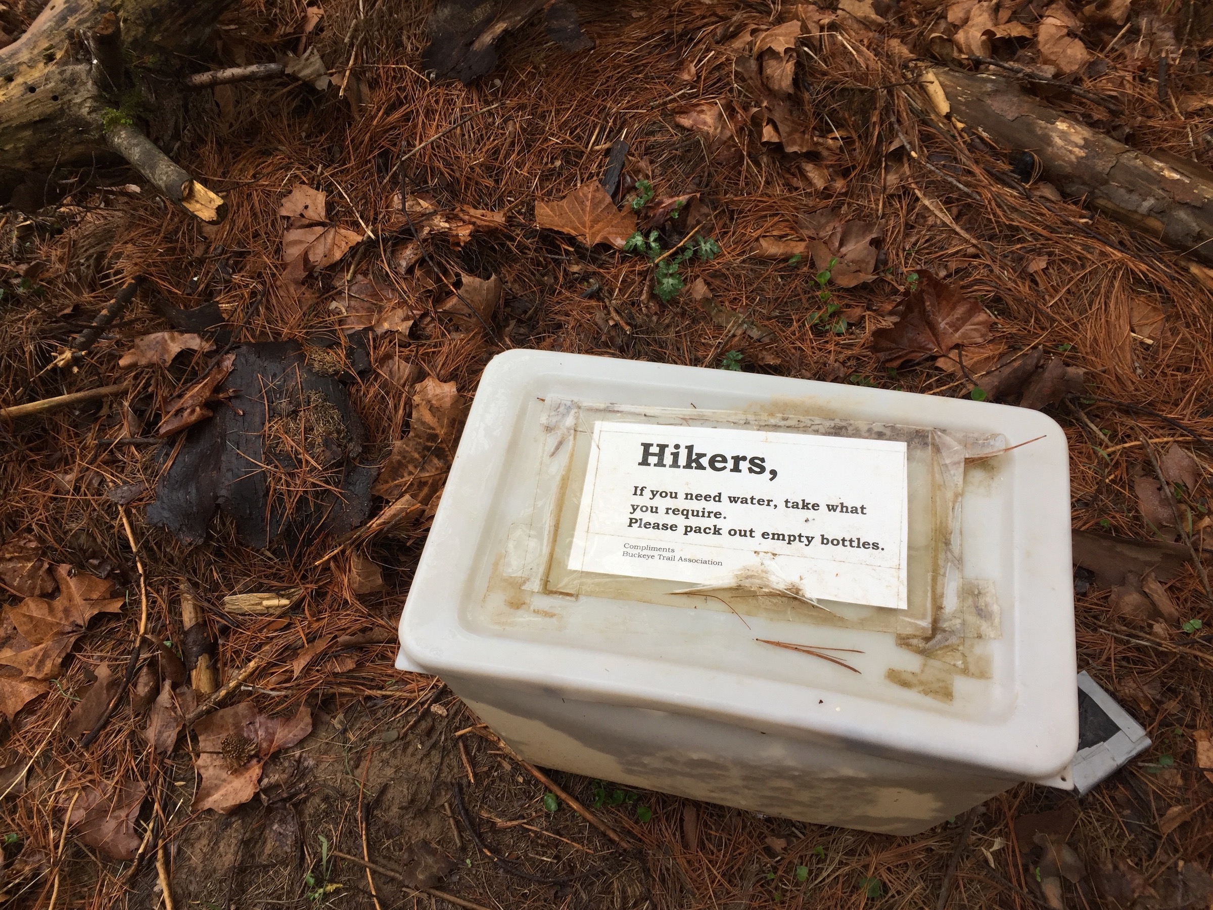
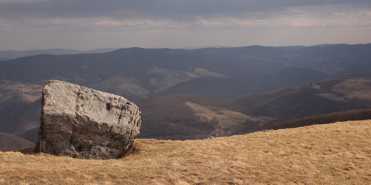
Archer’s Fork is a moderately challenging loop. Being situated at the edge of the Appalachians, there are a lot of ups and downs. The streams get full and hard to cross in the spring, and they get dry and hard to pull water from in the late summer. You need a water filter, unless you want to drive around and cache water along the route, since the stream water is not safe to drink untreated. This is a hunting area, so you need to use caution during deer and turkey hunting seasons. There is old oil extraction equipment along the route. There is new, working oil extraction equipment along the route, all of which you should stay away from. There are plenty of reason to keep people away from this trail, which is exactly why an avid backpacker should visit it.
Start:
Stop:
Continue: